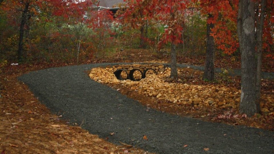
Maumelle is a planned city on the north side of the Arkansas River, northwest of Little Rock. Laid out from scratch in the early 1970s, it is built around lakes, parks and trail loops, with Pinnacle Mountain in view across the water.
The feel
Maumelle feels planned because it was. Much of the land was a World War II munitions site, the Maumelle Ordnance Works, before developer Jess P. Odom bought about 5,000 acres in 1967 and set out to build a new town under a federal new community program. The first residents arrived in 1974 and the city incorporated in 1985. Streets curve around lakes and green space, commercial areas are grouped together, and trail corridors tie neighborhoods to parks. The population was about 19,300 at the 2020 Census.
The homes
Most homes in Maumelle date from the 1970s forward, so you will see a lot of brick and siding ranch and two-story designs, with newer construction on the edges of town. Many neighborhoods were built as part of the master plan, with consistent setbacks, sidewalks and nearby common areas. There are also patio homes, townhomes and some lake or golf course frontage. Because so much of the city was built in phases, a single street can tell you a lot about age and style, so compare build years when you shop.
Schools
Maumelle is in the Pulaski County Special School District. Campuses in the city include Pine Forest Elementary, Maumelle Middle School and Maumelle High School, and some areas are zoned to Crystal Hill Elementary. A K to 12 charter school also operates in town. Zones are assigned by address and can change, so confirm the school for any home directly with PCSSD before making plans around it. The Arkansas Department of Education's My School Info site posts public data for each campus.
Getting around
Maumelle Boulevard, Arkansas Highway 100, is the main spine and connects the city east toward North Little Rock. Interstate 40 runs along the north side of town for trips toward Conway or across the metro, and I-430 is close for the bridge into west Little Rock. Downtown Little Rock is usually about a 20 to 25 minute drive outside rush hour. The Big Dam Bridge, a walking and cycling bridge over the Arkansas River, is about three miles east along Highway 100.
Life here
Lake Willastein and Lake Valencia are the two signature parks, each ringed with walking paths, footbridges and picnic spots, and both are popular for fishing. The Maumelle Veterans Memorial sits on the shore of Lake Willastein, which also hosts the annual Family Fest. The city maintains more than 13 miles of trails, plus the Jess P. Odom Community Center, an aquatic center, ball fields and a soccer complex. Maumelle Country Club has an 18-hole course, and Pinnacle Mountain State Park is a short drive across the river.
Owning here
Water service comes from Central Arkansas Water, which took over the former Maumelle water system on March 1, 2016. Many subdivisions have their own property owners or homeowners associations with covenants and dues, so read the documents before you write an offer. Property taxes run through Pulaski County. The city borders the Arkansas River, and some low areas near the river and lakes are in mapped flood zones; check the FEMA map for any specific lot.