Saline County stretches southwest of Little Rock along Interstate 30, from the suburbs of Bryant and Benton to the Ouachita foothills. Formed in 1835 and named for its early salt works, it had about 123,400 residents at the 2020 Census.
The feel
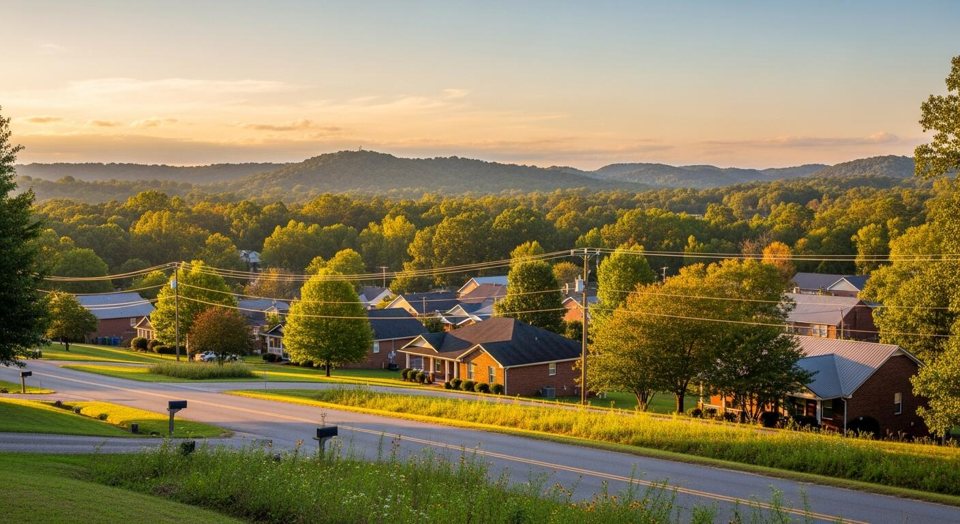
Saline County covers about 724 square miles, and it changes character as you move west. The eastern side, along Interstate 30, is suburban and growing, with Bryant, Benton, Alexander, and Shannon Hills. Head west and the land rises into wooded hills, small communities, and part of the Ouachita National Forest. The Saline River runs roughly north to south through the middle. The county was formed on November 2, 1835, and took its name from the salt works that operated here in its early years.
The homes
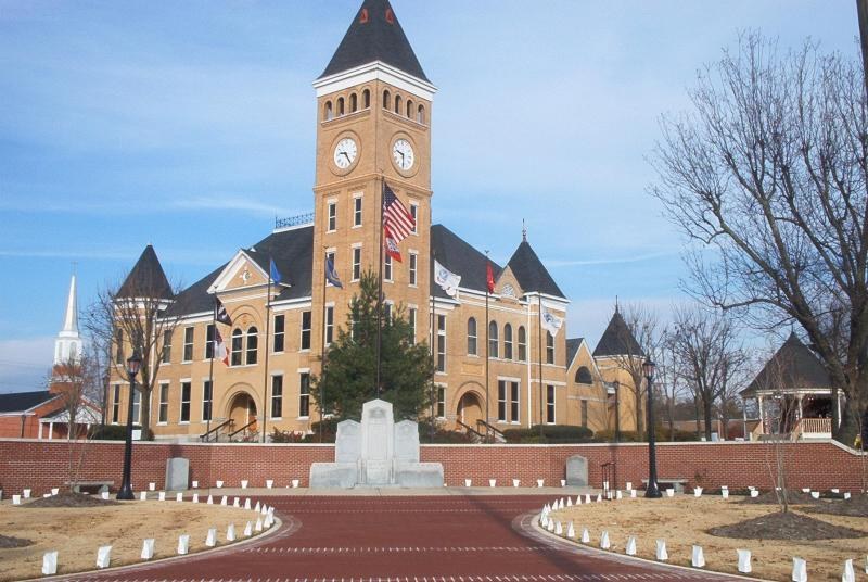
Housing follows the same east to west pattern. Near the interstate you will find newer subdivisions, established neighborhoods, and a growing share of recent construction. Benton adds historic homes near its courthouse square. Farther out, homes sit on larger lots and acreage, with rural roads, wells or rural water associations, and more privacy. The Saline County portion of Hot Springs Village, the large gated community on the Garland County line, adds another option with lake and golf course homes.
Schools
Several public school districts serve the county. The largest are the Benton and Bryant districts. The Bauxite and Harmony Grove districts serve other parts of the county, and districts based in neighboring counties reach in along the edges. The former Paron School District merged into Bryant in 2004. District lines do not match city limits, so the only reliable way to know a home's assignment is to give the exact address to the district and ask.
Getting around
Interstate 30 runs the length of the eastern county and carries most commuters into Little Rock, about 20 miles from Bryant and 25 from Benton. U.S. Highways 67 and 70 parallel the interstate in places. Arkansas Highways 5, 9, and 35 fan out toward the rural west and south, and Highway 5 leads to the east gate of Hot Springs Village. The Saline County Regional Airport near Bryant serves private and general aviation.
Life here
Bauxite defined the county for most of the twentieth century. State geologist John Branner identified bauxite ore near Hurricane Creek in 1887, and the company town of Bauxite followed in 1893. During World War II, mines here produced more than 90 percent of the nation's aluminum ore at one point. Mining ended in 1990. Today the outdoors draws people: Lake Norrell, Lake Winona, and Hurricane Lake, paddling and fishing on the Saline River, and trails in the national forest to the west.
Owning here
Property taxes depend on the school district and any city that covers the parcel, so confirm current millage with the Saline County assessor and collector. Utilities vary by location. Benton runs its own electric, water, and wastewater utility, while rural homes may use water associations, wells, septic systems, and a different electric provider. Land near the Saline River and its creeks can fall in FEMA flood zones, so check the maps and price flood insurance early. Gated communities and many subdivisions carry POA or HOA dues.